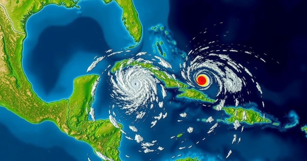
The National Hurricane Center is monitoring two weather systems in the tropics, with one having a 50% chance of forming into Tropical Storm Nadine. The first system near Puerto Rico shows low development potential, while the second near Honduras is expected to bring heavy rainfall to Central America. The 2024 Atlantic hurricane season has recorded 13 named storms to date, amid predictions of a highly active season.
The 2024 Atlantic hurricane season is proving to be quite dynamic as the National Hurricane Center closely observes two active weather systems in the tropics. One system has exhibited signs of development and possesses a 50% probability of intensifying into a tropical storm, potentially taking on the name Tropical Storm Nadine. This serves as a pertinent reminder that storms that may not be initially anticipated can escalate rapidly and warrant careful monitoring by meteorological experts. Previously, there had been considerable concern regarding another system that many believed would form into Tropical Storm Nadine shortly after Hurricane Milton affected Florida. However, that system ultimately dissipated in the Atlantic without bringing any threats to land. The first disturbance under observation is a trough of low pressure situated a few hundred miles north of Puerto Rico and the Virgin Islands. This system, while producing scattered showers and thunderstorms, is expected to continue moving westward at approximately 20 mph. Current forecasts indicate unfavorable conditions for further development, with strong upper-level winds likely to inhibit any intensification in the upcoming week, resulting in a formation chance of merely 10% over the next 48 hours and 10% over the next seven days. The second disturbance, positioned north of eastern Honduras, is becoming more organized, producing a significant amount of thunderstorms and widespread rainfall. Conditions are currently favorable for this system, which could evolve into a tropical depression or storm prior to making landfall over Belize and the Yucatan Peninsula of Mexico by Saturday. This system carries a medium formation chance of 50% over the next 48 hours and 50% over the next week. Regardless of its potential classification as a tropical storm, it is poised to deliver heavy rain across Central America and southern Mexico in the following days.
The Atlantic hurricane season, which officially runs from June 1 to November 30, has historically been a time of heightened storm activity. Early predictions for the 2024 season suggested a potentially unprecedented year, with forecasts estimating between 17 to 24 named storms. Comparatively, the average season typically records around 14 named storms, including approximately seven hurricanes. To date, the current season has witnessed 13 named storms, nine of which have escalated into hurricanes, including four major hurricanes classified at Category 3 or higher. With such forecasts and observed activity, vigilant monitoring and preparedness are essential during this peak hurricane period.
In conclusion, the National Hurricane Center continues to track two significant systems in the Gulf of Mexico and surrounding areas, with one system holding a notable 50% chance of developing into a tropical storm. The unpredictability of tropical storms remains prominent, necessitating a vigilant watch as the season progresses. With a record amount of storm activity thus far in the 2024 season, awareness and preparedness should remain a priority for those in potentially affected regions.
Original Source: www.statesman.com


