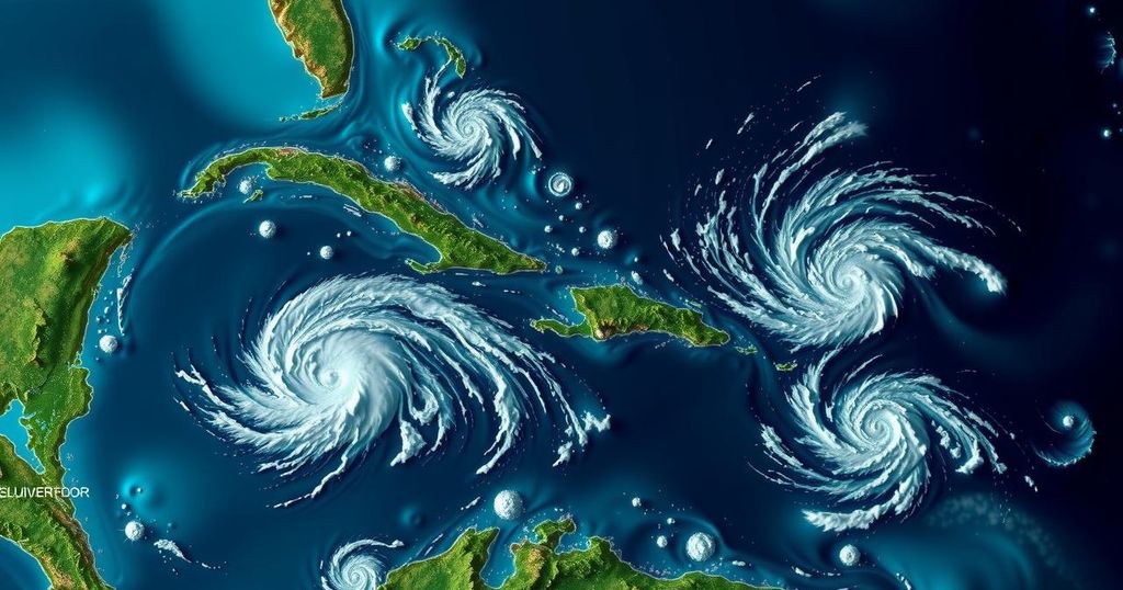
The National Hurricane Center has identified three regions in the Caribbean and Atlantic with potential for tropical storm development, notably in the southwestern Caribbean. While a storm is expected to form soon, forecasters indicate that this system may face environmental challenges down the line, particularly if it moves into the Gulf of Mexico. Heavy rains are expected to affect several Caribbean islands, while Florida may likely remain insulated from direct impacts.
The National Hurricane Center (NHC) has identified three areas of interest in the Caribbean and Atlantic that may develop into tropical storms. One key region is located in the southwestern Caribbean, which currently possesses a 30 percent chance of development within the next two days and a 70 percent chance over the next week. Meteorologists anticipate the formation of either a tropical depression or storm late this weekend or early next week as this system moves northward. Additionally, high pressure building over the Atlantic in the coming days is expected to guide this system northwest towards the Gulf of Mexico. It is likely that this system will interact with a new trough of low pressure near Puerto Rico, which is already generating significant precipitation across the Greater Antilles and surrounding waters. Another system, characterized by slow development, is anticipated to move west-northwest, potentially bringing heavy rainfall to the northern Leeward Islands, Puerto Rico, Hispaniola, eastern Cuba, and the southeastern Bahamas in the days to follow. Fox 13 Meteorologist, Paul Dellegatto, described the weather pattern as complex, with multiple elements requiring monitoring, including the aforementioned trough and high-pressure ridge impacting Florida. Despite the warm waters beneath, should the system reach the Gulf of Mexico, it may encounter cooler waters and challenges such as high wind shear and drier conditions, which could inhibit its development. Denis Phillips, chief meteorologist for ABC Action News, remarked on the reduced heat content in the Gulf compared to earlier in the season, suggesting any emerging tropical systems may struggle to intensify, stating, “While we probably see Patty within a week, the threat is much lower with this than previous storms.” Furthermore, another non-tropical low-pressure area has emerged in the north Atlantic, approximately 400 miles west of the Azores, with only a 10 percent chance of developing into a subtropical system as it progresses eastward. Florida is unlikely to experience significant impacts from these developments, as prevailing high-pressure patterns are expected to restrict the systems’ movements, potentially leading to impacts along the northern Gulf Coast. In conclusion, while several systems are being monitored for potential development in the Caribbean and Atlantic, predictions indicate that significant hurricane threats to Florida remain low, with any impacts expected to be delayed until at least late next week.
The monitoring of potential tropical storm systems is crucial during the Atlantic hurricane season, particularly as conditions in the Caribbean can change rapidly. The current focus from the National Hurricane Center is on low-pressure systems that may evolve into named storms, potentially impacting Caribbean islands and the Gulf of Mexico. Understanding the interplay between warm ocean waters, large-scale atmospheric patterns, and regional geography is essential for forecasting the behavior of tropical systems. Past trends indicate that late-season storms are less common and often face various atmospheric obstacles that can limit their strength and trajectory.
The National Hurricane Center is closely monitoring three distinct areas in the Caribbean and Atlantic for possible tropical storm development. Forecasters are particularly attentive to a system expected to strengthen in the southwestern Caribbean, although challenges may arise as it approaches the Gulf of Mexico. Meteorological conditions suggest a lower threat level compared to earlier storms in the season. As these systems evolve, it is crucial to remain updated on their progress, particularly with potential rainfall impacts on various islands and regions.
Original Source: patch.com


