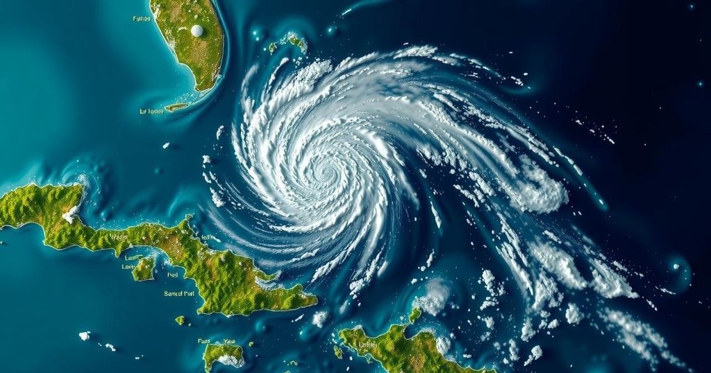
Hurricane Rafael, a category 2 storm, is moving towards western Cuba, potentially strengthening into a major hurricane. While high winds and rain are expected for the region, the storm’s path has shifted, reducing risks for Florida. Forecasters predict that Rafael will weaken upon entering the Gulf of Mexico, although uncertainties regarding its future intensity remain.
Hurricane Rafael, classified as a category 2 storm with the potential to escalate to a category 3 system, is currently advancing towards western Cuba as of Wednesday morning. The National Hurricane Center indicated that it is “very likely” Rafael will reach major hurricane status prior to making landfall on the island, which has been dealing with significant power outages. Forecasters expect Rafael to weaken as it traverses the Gulf of Mexico, where high wind shear, dry air, and cooler water conditions will inhibit its strength. The Florida Keys are under a tropical storm warning, as the storm’s outer bands could produce sustained high winds in the region. Recent changes in weather predictions have shifted the expected path of Rafael further away from Florida, significantly reducing the likelihood of sustained tropical-storm-force winds impacting South Florida to below 1%, according to the National Weather Service office in Miami. Rainfall of up to one inch is anticipated across the state through Thursday. As it enters the Gulf, meteorologists are confident that Rafael will experience some weakening, although the specifics regarding its intensity and potential landfall locations remain uncertain. The National Hurricane Center noted, “There is larger-than-normal uncertainty regarding Rafael’s intensity later in the forecast period.” At the time of the latest report, Rafael had maximum sustained winds of 110 mph and was moving northwest at 14 mph, located approximately 130 miles south-southeast of Havana, Cuba. Additionally, meteorologists are monitoring a tropical disturbance that may develop north of Haiti in the coming week, with a 30% chance of evolving into a tropical depression over the next seven days and a 20% chance within the next two days.
Hurricanes are categorized using the Saffir-Simpson scale, which ranks them from 1 to 5 based on sustained wind speeds and potential damage. Category 2 hurricanes, such as Rafael, possess winds between 96-110 mph and can lead to extensive damage, particularly in coastal areas. Meteorologists closely monitor hurricanes to predict their paths and intensity, which can greatly affect decisions regarding evacuations and preparedness in affected states. The Gulf of Mexico is particularly susceptible to rapid shifts in storm strength due to varying environmental factors, such as water temperature and wind conditions. In addition to Rafael, other tropical disturbances in the Caribbean also warrant attention from forecasters during hurricane season, typically running from June to November.
In summary, Hurricane Rafael poses a significant threat to western Cuba, with expectations of it possibly intensifying before landfall. However, the storm is anticipated to weaken as it enters the Gulf of Mexico, and its impact on Florida appears diminished according to the latest forecasts. While residents of South Florida face a reduced chance of adverse weather effects, accumulated rainfall may still occur. Ongoing observation of Rafael and other weather systems in the Caribbean is crucial as the situation develops.
Original Source: www.miamiherald.com


