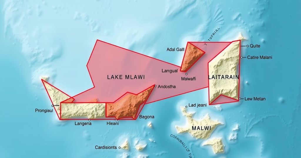
Tanzania’s Minister of Education has ordered teachers to use an official map depicting the border with Malawi as bisecting Lake Malawi. The directive aims to counter the portrayal found on Google Maps, which Malawi claims in entirety. This border dispute, linked to colonial-era agreements, remains unresolved, but ongoing discussions between the two nations continue. The ministerial directive reinforces Tanzania’s position on national identity and education in territorial claims.
In a recent directive, the Tanzanian Minister of Education has mandated that teachers across the nation utilize an official map that depicts the border between Tanzania and Malawi as bisecting Lake Malawi, known as Lake Nyasa in Tanzania. This instruction, transmitted via a letter from the Ministry of Education, stipulates that the border should be represented as traversing the lake’s center rather than adhering to the shoreline. The letter specifically urges educators to ignore maps readily available online, asserting that these often misrepresent the territorial delineation.
The Tanzanian government claims that Malawi’s use of Google Maps inaccurately portrays the entirety of Lake Malawi as Malawian territory. The Ministry emphasizes that adherence to the official map is crucial for educating students about the correct national boundaries, thereby reinforcing Tanzania’s territorial claims. Furthermore, Tanzanian government spokesperson Greson Msigwa addressed the matter, asserting the continued amicable relations between the two nations while acknowledging the contested nature of the lake’s border, which remains the subject of ongoing discussions.
Historically, the border dispute over Lake Malawi has persisted since colonial times. Tanzania argues that historical agreements endorse its position, while Malawi asserts a claim over the entire lake based on a treaty from the 19th century. Despite the prolonged disagreement, the situation has not escalated into armed conflict. The directive from the Tanzanian education ministry illustrates the significant role of educational institutions in fostering a sense of national identity and sovereignty by instructing teachers to implement the official standpoint within their curriculums.
The interaction between Tanzania and Malawi regarding the lake boundary exemplifies the challenges inherent in resolving territorial disputes, yet there exists hope for a peaceful resolution as both countries engage in ongoing negotiations. The emphasis on using the official map reflects Tanzania’s commitment to clarifying its national stance in educational settings.
The border dispute surrounding Lake Malawi has been a contentious issue between Tanzania and Malawi for decades. The lake, referred to as Lake Nyasa in Tanzania, has been a point of contention since the colonial era, with each country claiming differing territories based on historical agreements. The dispute is significant not just politically, but also in terms of national identity, illustrating the complex interplay between education, territory, and sovereignty. Educational policies now clearly reflect the Tanzanian government’s effort to assert its claims within its educational system, reinforcing its perspective among young citizens. The recent directive issued by Tanzania’s education ministry illustrates this approach, highlighting the importance of aligning national education with territorial claims. The situation remains escalated but non-violent, with both nations seeking a diplomatic resolution while maintaining their respective historic claims.
In conclusion, the Tanzanian government’s directive to utilize an official map depicting the border through the center of Lake Malawi underscores its commitment to asserting territorial claims within the educational framework. This action is rooted in a longstanding dispute with Malawi that has historical and political significance. While the two nations continue to engage in discussions regarding the boundary, the emphasis on national identity and the role of education in fostering these perceptions remain paramount. The hope for a constructive resolution persists amid the complexities of this territorial disagreement.
Original Source: malawi24.com


