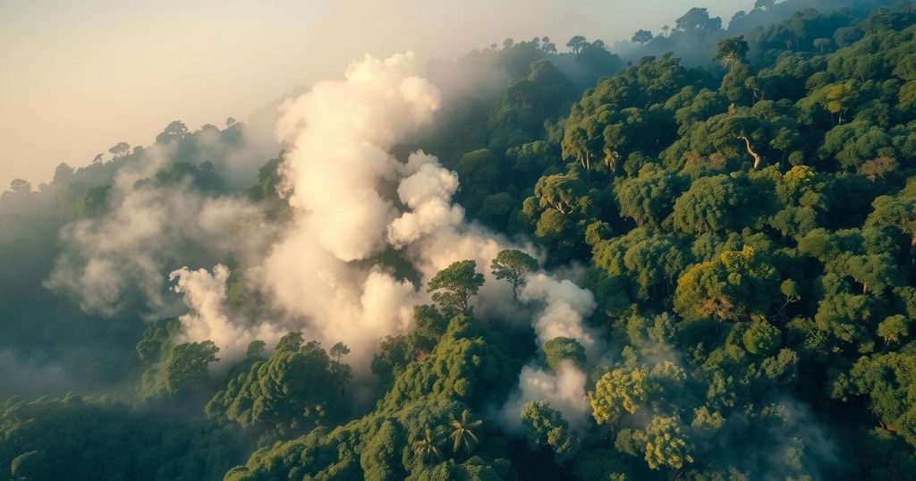
The VIIRS instrument aboard the NASA/NOAA NOAA-20 satellite detected numerous fires in Brazil and Bolivia on August 28, 2024, amidst conditions of high temperatures, low humidity, and drought. The satellite images reveal the alarming smoke and thermal anomalies from these fires, with further implications indicated by the Aerosol Index, emphasizing challenges for air quality and visibility.
On August 28, 2024, the Visible Infrared Imaging Radiometer Suite (VIIRS) on the NASA/NOAA NOAA-20 satellite captured alarming images depicting numerous fires across Brazil and Bolivia. The satellite detected these fires as red dots, while thick gray smoke rises from the regions affected. Various climatic factors, including elevated temperatures, low humidity, and prolonged drought periods, have intensified the fire outbreaks in both countries. Moreover, two distinct images reveal the true extent of the fires; one shows thermal anomalies alongside visible smoke, and the other highlights the Aerosol Index, indicating high concentrations of UV-absorbing particles, particularly dangerous for atmospheric health.
The occurrence of extensive fires in Brazil and Bolivia is largely driven by climatic conditions that include excessive heat and insufficient moisture. These elements create a conducive environment for wildfires to ignite and proliferate. The technological advancements in satellite imaging, such as the capabilities of the VIIRS instrument, facilitate critical monitoring of these environmental challenges, giving scientists and officials critical insights to address fire management and environmental protections. The Aerosol Index layer further illustrates the impact of such fires, with implications that extend to air quality and visibility.
In summary, the images obtained from the NASA/NOAA NOAA-20 satellite provide crucial insights into the ongoing wildfire situation in Brazil and Bolivia. Contributing factors such as high temperatures and drought exacerbate these incidents, leading to significant smoke and aerosol presence in the atmosphere. Efforts must continue to monitor and understand these phenomena to mitigate future risks.
Original Source: www.earthdata.nasa.gov


