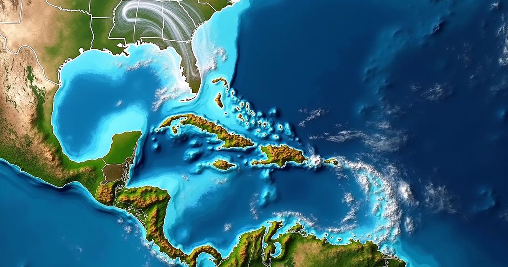
Bryan Norcross alerts that Invest 94L, a tropical disturbance, is expected to encounter improved conditions for development as it approaches the northeastern Caribbean by Friday. Despite current dry conditions hindering growth, forecasts indicate a medium chance for it to evolve further. Precautions are advised for residents in the regions at risk, while Florida appears safe due to prevailing cold fronts.
Bryan Norcross has issued an update regarding the potential development of a tropical disturbance, designated as Invest 94L, currently progressing through a challenging environment in the middle of the tropical Atlantic. The atmosphere is notably dry, effectively stifling the formation of thunderstorms within the circulation of this system. While immediate development is predicted to be improbable over the next few days, conditions are expected to improve as the system approaches the northeastern Caribbean islands around Friday, potentially increasing the likelihood of further development. It is atypical for a tropical disturbance born from African origins to arrive in the Caribbean region during this period of the year. Typically, ocean waters cool off, upper-level winds become more adverse, and disturbances are intercepted by dips in the jet stream, steering them away to the north. However, the presence of exceptionally warm ocean conditions and a considerable area of high pressure situated to the north of the disturbance has facilitated this unusual trajectory. Satellite imagery indicates the emergence of some taller thunderstorms attempting to develop close to the center of the otherwise weak and disrupted circulation. The National Hurricane Center has assessed the situation, offering a medium probability that the disturbance may evolve into at least a tropical depression as it nears the vicinity of Puerto Rico and surrounding islands. There exists substantial consensus among computer modeling forecasts that the disturbance will arrive in that area by Friday, with organizational potential ranging from merely a moisture surge to a well-defined system with a robust circulation. Following Friday, the anticipated steering currents are projected to weaken, causing the disturbance to drift towards Puerto Rico, the Dominican Republic, Haiti, or the southeastern Bahamas. Consequently, the possibility of impacts from a tropical storm or hurricane on some of these islands cannot be discounted. It is important to note, however, that whenever steering flows lack clarity, the uncertainty regarding the track of the disturbance elevates. Therefore, vigilance is advised for residents of Puerto Rico, the Virgin Islands, Hispaniola, the southeastern Bahamas, and adjacent areas throughout the week. Fortunately, there is currently no imminent threat to hurricane-prone Florida. The presence of a cold front across or near South Florida, coupled with a dip in the jet stream developing over the Bahamas, is expected to deter tropical systems from advancing towards the state. Nevertheless, it remains prudent to wait for the disturbance to consolidate better prior to determining a more precise forecast, as predictions regarding the future intensity and trajectory of nascent or slowly rotating systems inherently carry greater uncertainty and are subject to modifications.
Tropical weather systems, particularly those deriving from African disturbances, undergo a series of atmospheric conditions influencing their development as they traverse the Atlantic Ocean. The time of year significantly affects the likelihood of such systems reaching the Caribbean, due to typically cooling ocean waters and increasingly hostile upper-level winds. This year, however, unusually warm ocean temperatures and unique atmospheric conditions have led to the anticipation of a potentially impactful disturbance.
In summary, while Invest 94L is currently developing under challenging conditions, there is a growing prospect for increased organization as it nears the Caribbean later in the week. Residents of affected areas should maintain awareness of updates due to the inherent uncertainties associated with tropical weather forecasting. Importantly, Florida appears to be at low risk from this system, thanks to prevailing atmospheric patterns. As the situation evolves, continued monitoring and predictions will be crucial.
Original Source: www.foxweather.com


