Forecasters at the National Hurricane Center have raised the probability that a tropical disturbance in the Atlantic could strengthen into a storm affecting the Caribbean by week’s end, with a 60% chance of developing into a tropical depression in seven days. A separate disturbance off Central America poses lower chances for formation, but heavy rainfall is still expected in that region.
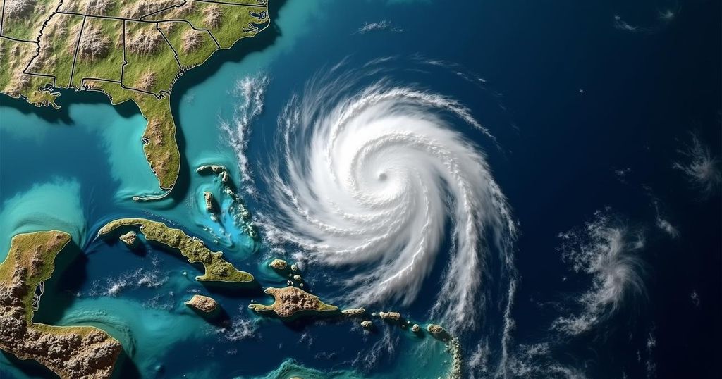
Forecasters from the National Hurricane Center have increased the likelihood of a tropical disturbance developing into a storm system that could impact the Caribbean by the end of the week. As of Tuesday morning, this disturbance, located in the Atlantic Ocean, has a 60% probability of evolving into a tropical depression within the next seven days and a 30% chance of doing so within the next 48 hours. This represents an increase in forecast confidence compared to prior assessments. Currently, the disturbance is characterized by a disorganized aggregation of thunderstorms with a noteworthy circulation present. For it to officially further develop into a tropical depression and potentially escalate into a tropical storm or hurricane, it must gather additional rain and thunderstorms, which is currently challenging due to the presence of dry air in its vicinity. The disturbance is projected to move westward, where it may encounter more conducive, moist atmospheric conditions that could facilitate its development. Forecast models suggest that the system could approach the Virgin Islands and Puerto Rico by Thursday or Friday. However, predictions regarding its future path remain uncertain, with global weather models offering divergent trajectories. Some models forecast a path that continues westward through Cuba, while others suggest a turn northeast towards Florida or the Bahamas. At this stage in tracking the system, forecasters emphasize that the models have limitations in accuracy. Once the system officially transitions into a tropical depression, the forecast models will be better equipped to provide clearer predictions. Additionally, the Hurricane Center is monitoring another disturbance located off the coast of Central America. The potential for this system to develop into a tropical depression is significantly lower, at approximately 30% over the next week and with no immediate chance in the next two days. Observations indicate that should it remain over water in the coming days, there is a slight possibility of strengthening. However, current computer model predictions suggest that it is likely to redirect towards the Central American coastline. Regardless of these developments, the Hurricane Center anticipates that heavy rainfall may occur in parts of Central America later this week. The next storm name on the Atlantic season’s list is Nadine.
The article discusses the current state of tropical disturbances in the Atlantic Ocean, specifically focusing on a system that is showing potential to develop into a tropical depression, which could affect the Caribbean region. The National Hurricane Center is the authoritative source for tracking and predicting these weather systems, providing insights on the probability of development and potential paths of these disturbances. Forecasts are particularly critical as they help in preparing for possible impacts on land areas such as the Virgin Islands, Puerto Rico, and Central America, where heavy rainfall may occur regardless of the development of the storm.
In summary, meteorologists from the National Hurricane Center have reported an increasing likelihood of a tropical disturbance evolving into a significant storm system that may affect the Caribbean later this week. While path predictions remain uncertain, the disturbance is expected to move into regions more favorable for development. Another less likely storm formation is being monitored closer to Central America, with forecasts indicating potential heavy rainfall in that region. Accurate predictions will improve as the system formally transitions into a tropical depression, warranting continued observation and updates from forecasters.
Original Source: www.miamiherald.com


