The National Hurricane Center is monitoring three systems in the Atlantic, including one with a high chance of developing into a tropical depression. A broad area of low pressure is expected to develop over the southwestern Caribbean, with a 70% chance of formation. Two additional systems are also being tracked, both with low chances of becoming significant storms, but could still bring heavy rainfall to surrounding areas.
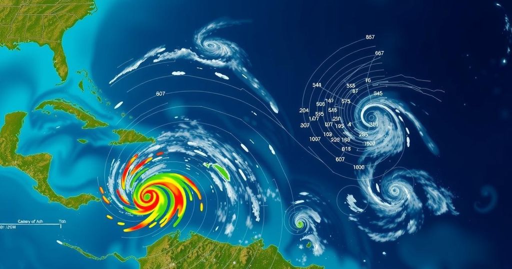
The National Hurricane Center (NHC) announced on Friday that it is currently monitoring three distinct weather systems in the Atlantic Ocean, with one system displaying a notably high likelihood of developing into a tropical depression in the near future. According to the NHC, there is an expectation of a “broad area of low pressure” to evolve over the southwestern Caribbean Sea within the next day, with a possibility of gradual development thereafter. Forecasters from the NHC predicted that a “tropical depression is likely to form late this weekend or early next week” as the system drifts primarily northward or northwestward across the central to western Caribbean Sea. The center emphasized that irrespective of development, regions adjacent to the western Caribbean could experience heavy rainfall. The likelihood of formation for this system stands at a considerable 70 percent over the next seven days, with named storms Patty and Rafael anticipated in the ongoing 2024 Atlantic hurricane season. In addition to the primary system under close observation, the NHC is also tracking two other weather systems in the Atlantic, both exhibiting low probabilities of formation. The first system is characterized as a “trough of low pressure” situated near Puerto Rico, which is generating a “large area of showers and thunderstorms” across the Greater Antilles and nearby waters. The NHC noted the potential for slow development of this system over the upcoming days as it moves west-northwest, although it is expected to be absorbed by the low-pressure area in the Caribbean afterward. Heavy rainfall could occur from the northern Leeward Islands extending westward to Puerto Rico, Hispaniola, eastern Cuba, and the southeastern Bahamas, regardless of development. The second weather system identified by the NHC is a “storm-force non-tropical low pressure area” located approximately 400 miles west of the western Azores, producing limited shower activity. Some subtropical development is anticipated as the system progresses eastward over the next few days.
The Atlantic hurricane season has specific criteria and classifications for storm systems. The National Hurricane Center is responsible for monitoring and forecasting tropical systems that could potentially develop into significant storms. Given the complex nature of weather systems, various factors such as pressure changes and water temperatures play critical roles in storm formation and development. This report highlights the NHC’s ongoing efforts to assess and inform the public regarding active systems within the Atlantic and emphasizes the importance of preparedness during hurricane seasons.
In summary, the National Hurricane Center is actively tracking three systems in the Atlantic, with one system projected to potentially develop into a tropical depression. While the primary focus remains on the significant system over the southwestern Caribbean Sea, attention is also warranted for other systems producing adverse weather conditions. Residents in the affected regions are advised to stay informed due to the potential for heavy rainfall associated with these disturbances.
Original Source: www.usatoday.com


